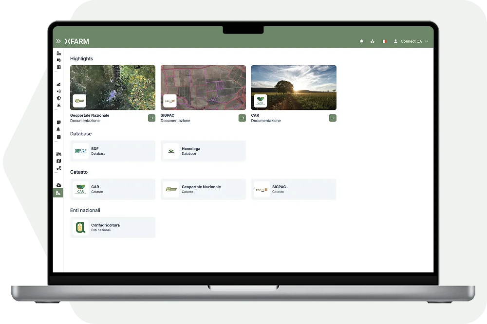
Documentation
xFarm brings together xFarm and services dedicated to documentation, spatial data, mapping, and GIS infrastructure to support agricultural planning, environmental monitoring, and the management of geographic information. Examples include the National Geoportal.

.png)


.svg)